In a webinar held on October 26, the Department of Science and Technology MIMAROPA launched its latest initiatives with its partners state universities, colleges, local government units and micro, small to medium enterprises in the region.
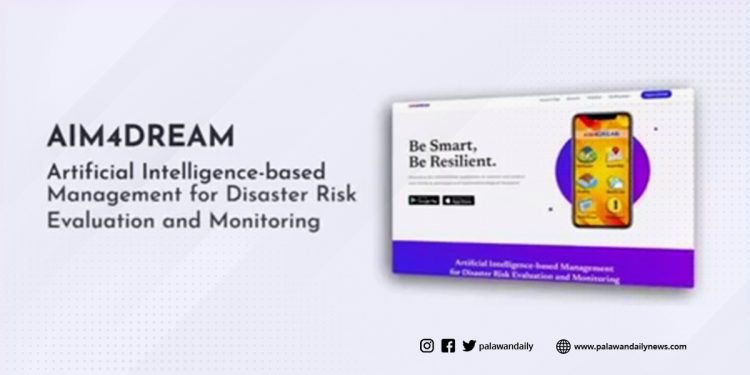
One of their latest initiatives is an application called AIM4DREAM or the Artificial Intelligence-based Management for Disaster Risk Evaluation and Monitoring.
The AIM4DREAM targets to monitor, record and evaluate microclimate data that will help the community give real-time weather information in a disaster that can be accessed through computer and mobile phones with the coordination of local government units and participating agencies of the regional disaster risk reduction and management council.
DOST-MIMARPOA Regional Director Dr. Ma. Josefina P. Abilay said that the AIM4DREAM will be a single accessible source for disaster-related information in high-risk areas for more enhanced decisions on emergency situations.
“This AI base system is being developed and will be deployed in MIMAROPA to provide a single accessible source of all disaster risk related information from areas with installed early warning devices. This is to have our stakeholders enhanced proactive and response systems and make more informed decisions during emergency situations,” Dr. Alibay said.
Also, DOST Secretary Dr. Fortunato Dela Peña stated that Artificial Intelligence is a promising innovation for disaster risk reduction and will benefit the MIMAROPA region that will strengthen reliable weather monitoring systems and save lives and properties in time of disaster.
“Artificial Intelligence is behind several promising innovations for disaster risk reduction. It will be a great benefit to the MIMAROPA region to strengthen real time reliable weather monitoring system to help local government units and citizens make informed decisions and save lives and properties during disaster,” Secretary Dela Peña said.
Engr. Jerry B. Mercado, Chief Science Research Specialist, said the AIM4DREAM has three components, phase one the actual development of the software/app that has been mobilize this year and target to fully operational by the 2nd quarter of 2022 for the second phase is to come up and develop of enhanced sensors with the partnership of Mindoro State University and to be deployed in critical watershed areas in Mindoro Oriental the third phase is the actual implementation and test run of the sensors, devices and system and will be made available on partner LGUs and MDRRMO for them to gain immediate access the target date is until the end of 2022 and by will be fully operational by year 2023.
The AIM4DREAM is also a GIS (Geographical Information System) base system features consolidating reports from its users or the crowd sourcing mechanism that introduces relative to the status of flooding and typhoon for easier disaster risk management planning and emergency response in the area.
The project was conceptualized by Alan Acosta, Lead Programmer of the project.








Discussion about this post